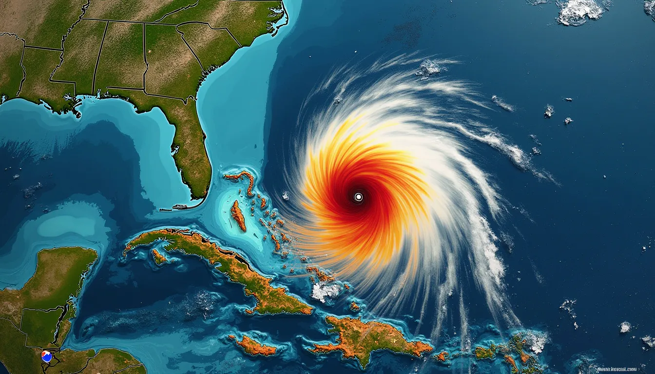
Hurricane Helene Intensifies to Powerful Category 4 Storm
Hurricane Helene has been officially upgraded to a Category 4 storm, reflecting a significant increase in its intensity. The storm is projected to make landfall in northern Florida on Thursday evening.
Landfall and Location
With its current trajectory, Hurricane Helene is expected to impact primarily northern Florida. Forecasts predict landfall on Thursday evening, bringing potentially devastating weather conditions to the region.
Storm Surge and Damage Potential
Forecasters have issued dire warnings about an unsurvivable storm surge in the northwestern parts of Florida. Surge heights could reach up to 20 feet, posing a severe threat to life and property in these regions.
Warnings and Preparations
Several Southeastern U.S. states have declared states of emergency in anticipation of Hurricane Helene’s impact. Precautionary measures include school closures and the suspension of operations at Tampa International Airport. Authorities continue to stress the importance of preparedness as the storm approaches.
Expected Weather Conditions
The hurricane is predicted to bring with it damaging winds, heavy rains, and flash floods. These effects will not be limited to the coastal regions; significant weather disturbances are expected to reach hundreds of miles inland, affecting much of the southeastern U.S.
General Impact
The forecast for Hurricane Helene indicates catastrophic impacts, including the risk of widespread power outages and extensive flooding. Residents in the affected areas are urged to take immediate action to protect themselves and their property.
